It’s a Bank Holiday weekend, so of course the weather will take a turn for the worse! The good news is that the wind should drop on Saturday. On Wednesday it was forecast to be coming from the west, so routes had been plotted to head that way, but it is now forecast from the south, so a change of plans! It may be slightly damp too, and there is heavier rain coming after lunch.
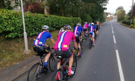
All the routes head through Sturminster and Hazelbury, skirting around Bulbarrow to Ansty. The White route heads for Cheselbourne and then over to Piddletrenthide, returning up the Piddle valley and through Kings Stag and Stalbridge.
The Blue route heads to Dewlish from Ansty, and then enters the Piddle valley just outside Puddletown, and joins the White route further up the valley.
Meanwhile the Pink route heads from Ansty to Milborne St Andrew, Briantspuddle, Tincleton and Puddletown before joining the other routes for the run home.
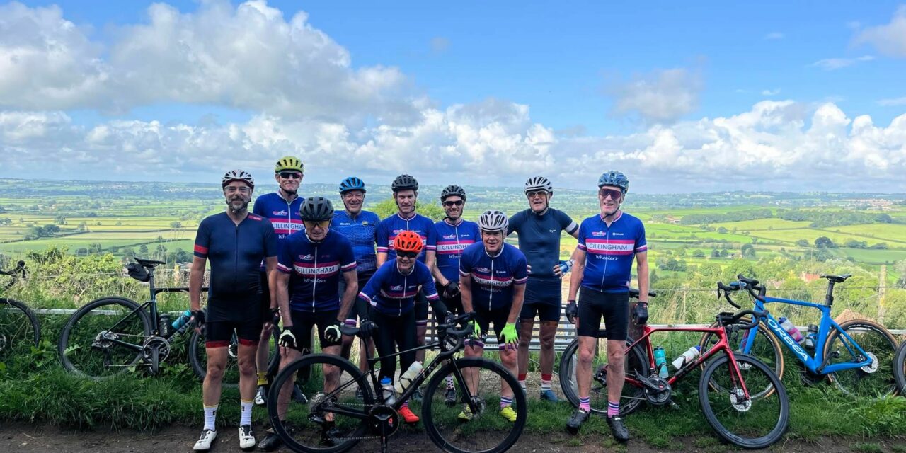
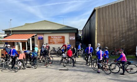
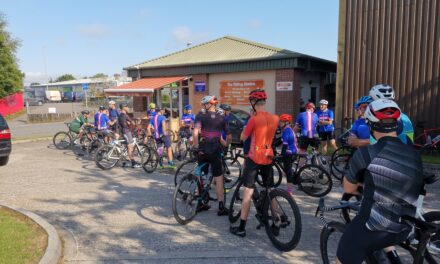
Its a 9.00 am start, meet at the Wheels car park, Station Road, Gillingham. Please ensure you download your chosen route to your GPS device, and remember to bring your ride essentials, particularly sufficient liquid refreshments.
There is nothing to stop a group splitting into a ‘light’ and a ‘dark’ group, and a slower group can take on a longer route or a faster group ride a shorter route. All rides are no drop rides but please select a group suited to your ability!
Pink Route: 95.5 kms, 898 m elevation – est speed 28 kmh+ / 17.5 mph +
Blue Route: 82.5 kms, 772 m elevation– est speed 24 kmh / 15 mph
White Route: 73.1 kms, 729 m elevation – est speed 20 kmh / 12 mph
If you haven’t done so already, please join the Whatsapp group for your ride:
White WhatsApp group : Blue WhatsApp group : Pink WhatsApp group
For those who have issues downloading their routes, here’s the guide for a Garmin device and here’s the guide for a Wahoo device.
Please Note: Riders participate at their own risk. These are not formal ‘led’ rides.