After the great weather of the last few weeks, Saturday looks like it will be a bit soggy, accompanied by a westerly wind. For those immune to the elements, as usual there are 3 routes.
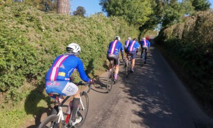
All routes initially head north to Stourhead and on to North Brewham.The White Route heads down the hill to Batcombe and on to Shepton Mallet, returning through Ditcheat and Bruton.
The Pink and Blue routes pass through Cranmore, both doing a loop around Shepton Mallet, with the Pink route reaching Wells before rejoining the Blue route near Crosscombe. All three routes follow the same roads home from Ditcheat.
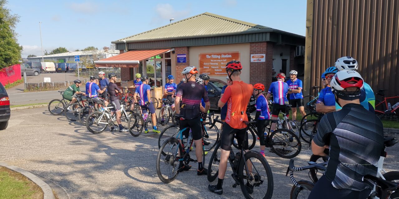
Meet at 9.00 am at the Wheels car park, Station Road, Gillingham. Please ensure you download your chosen route to your GPS device, and remember to bring your ride essentials, particularly sufficient liquid refreshement.
The routes all finish at The Old Brewery Cafe in Gillingham where you can stop for coffee, cake or lunch.
There is nothing to stop a group splitting into a ‘light’ and a ‘dark’ group, and a slower group can take on a longer route or a faster group ride a shorter route. All rides are no drop rides but please select a group suited to your ability!
Pink Route: 93.1 kms, 1,129 m elevation – est speed 28 kmh+ / 17.5 mph +
Blue Route: 81.8 kms, 987 m elevation – est speed 24 kmh / 15 mph
White Route: 65.9 kms, 779 m elevation – est speed 20 kmh / 12 mph
If you haven’t done so already, please join the Whatsapp group for your ride:
White WhatsApp group : Blue WhatsApp group : Pink WhatsApp group
For those who have issues downloading their routes, here’s the guide for a Garmin device and here’s the guide for a Wahoo device.
