After a windy week, it looks like the fans might be turned down on Saturday and May bows out with another sunny day, with the wind from the south west. The routes therefore all head in Gary’s favourite direction – towards Weymuff (but they don’t actually go there!).
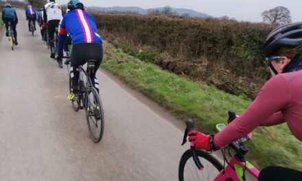
All the routes head over Bulbarrow from Belchawell, but may not take the same roads to get there. It is then on through Ansty to Cheselbourne, where the White route heads over to the Piddle valley to head home via Kings Stag and Stalbridge.
The Pink and Blue routes contine to Puddletown, where the Blues head through Troy Town and past Kingston Mauward to reach the edge of Dorchester, from where they head north to the Piddle valley. Meanwhile the Pink route goes on to Tincleton, Broadmayne and Came Down before rejoining the Blue and eventually the White routes home.
Suggested coffee / cake / lunch stop is the Spire Hill Cafe just before Stalbridge.
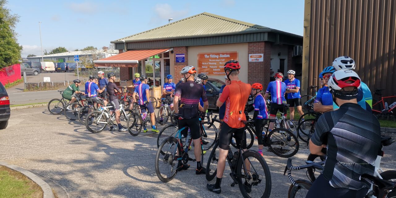
Meet at 9.00 am at the Wheels car park, Station Road, Gillingham. Please ensure you download your chosen route to your GPS device, and remember to bring your ride essentials, particularly sufficient liquid refreshement.
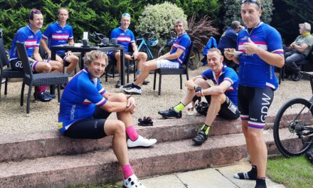
The routes all finish at The Old Brewery Cafe in Gillingham where you can stop for coffee, cake or lunch.
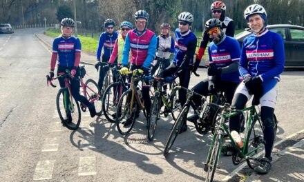
There is nothing to stop a group splitting into a ‘light’ and a ‘dark’ group, and a slower group can take on a longer route or a faster group ride a shorter route. All rides are no drop rides but please select a group suited to your ability!
Pink Route: 107.2 kms, 1,097 m elevation – est speed 28 kmh+ / 17.5 mph +
Blue Route: 90.2 kms, 916 m elevation – est speed 24 kmh / 15 mph
White Route: 71.8 kms, 757 m elevation – est speed 20 kmh / 12 mph
For those who have issues downloading their routes, here’s the guide for a Garmin device and here’s the guide for a Wahoo device.