Saturday currently looking dry with a light wind from the west. All three routes initially head toward West Camel where the White route turns south towards Sherborne. The return is through Alweston and Stalbridge.
The Blue route loops around Yeovilton and skirts the western side of Yeovil, before heading back to Sherborne to rejoin the White route.
The Pink route continues to Long Sutton, Martock and up Ham Hill before rejoining the Blue route at Stoford.
Meet at 9.00 am at the Wheels car park, Station Road, Gillingham. Please ensure you download your chosen route to your GPS device, and remember to bring your ride essentials, particularly sufficient liquid refreshement.
The routes all finish at The Old Brewery Cafe in Gillingham where you can stop for coffee, cake or lunch.
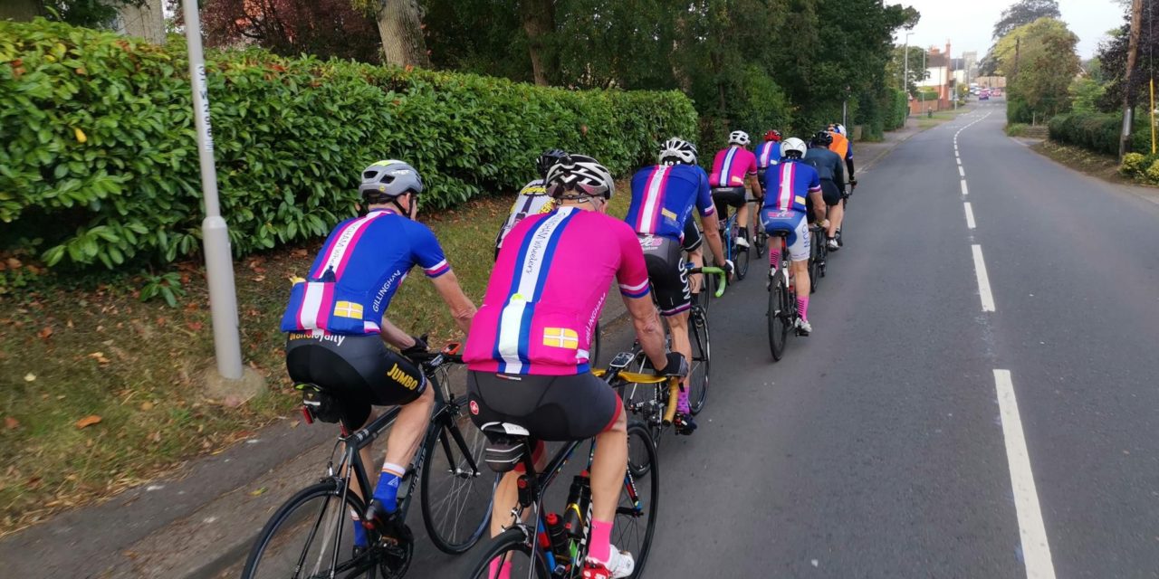
There is nothing to stop a group splitting into a ‘light’ and a ‘dark’ group, and a slower group can take on a longer route or a faster group ride a shorter route. All rides are no drop rides but please select a group suited to your ability!
Pink Route: 100.1 kms, 910 m elevation – est speed 28 kmh+ / 17.5 mph +
Blue Route: 85.4 kms, 808 m elevation – est speed 24 kmh / 15 mph
White Route: 71.5 kms, 702 m elevation – est speed 20 kmh / 12 mph
If you haven’t done so already, please join the Whatsapp group for your ride:
White WhatsApp group : Blue WhatsApp group : Pink WhatsApp group
For those who have issues downloading their routes, here’s the guide for a Garmin device and here’s the guide for a Wahoo device.