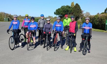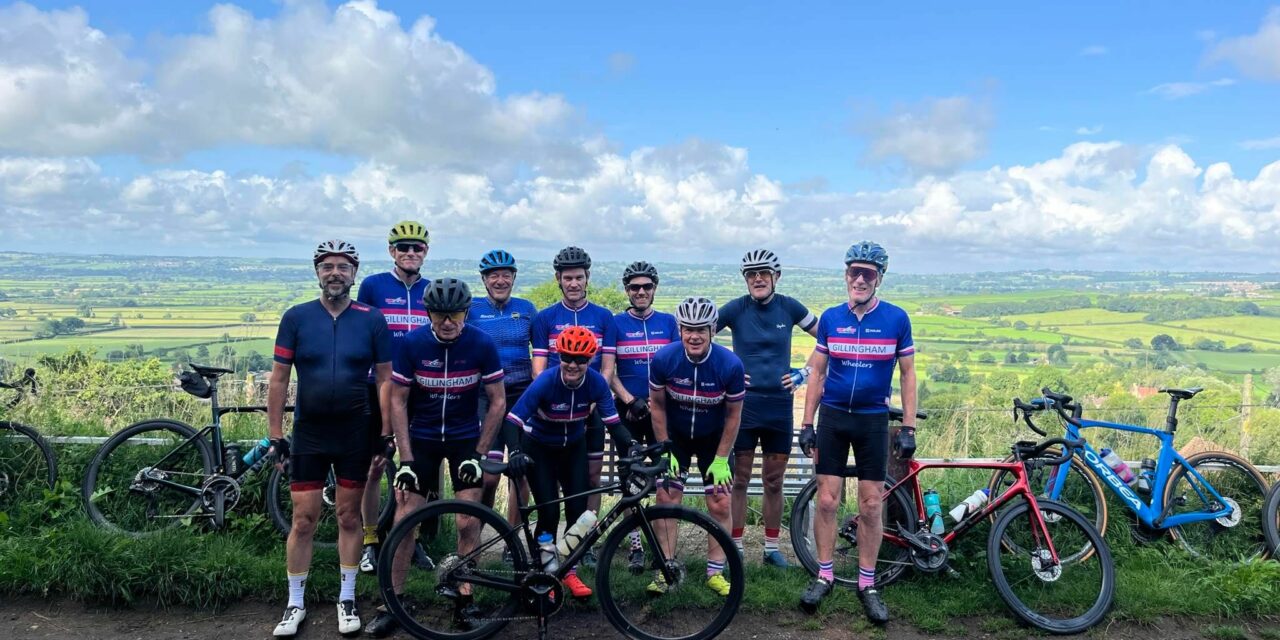
Another sunny Saturday is forecast with a light west north westerly.
The White route initially heads to Fifehead Magdalene and Marnhull. It then drops down Cox Hill on the way to Kings Stag and across to Hazelbury Bryan for their coffee stop. They return through Sturminster and Todber.
The Blue and Pink routes head to Gare Hill, then through the Brewhams to Redlynch and Galhampton where they then diverge taking separate roads to Sparkford and Sherborne. Separate roads are again taken to get to Lydlinch where they rejoin for the run home via Marnhull.
Its a 9.00 am start, meet at the Wheels car park, Station Road, Gillingham. Please ensure you download your chosen route to your GPS device, and remember to bring your ride essentials, particularly sufficient liquid refreshments.
There is nothing to stop a group splitting into a ‘light’ and a ‘dark’ group, and a slower group can take on a longer route or a faster group ride a shorter route. All rides are no drop rides but please select a group suited to your ability!
Pink Route: 95.6 kms, 961 m elevation – est speed 28 kmh+ / 17.5 mph +
Blue Route: 85.7 kms, 906 m elevation– est speed 24 kmh / 15 mph
White Route: 49.3 kms, 405 m elevation – est speed 20 kmh / 12 mph
If you haven’t done so already, please join the Whatsapp group for your ride:
White WhatsApp group : Blue WhatsApp group : Pink WhatsApp group
For those who have issues downloading their routes, here’s the guide for a Garmin device and here’s the guide for a Wahoo device.
Please Note: Riders participate at their own risk. These are not rides with a formal ride leader.