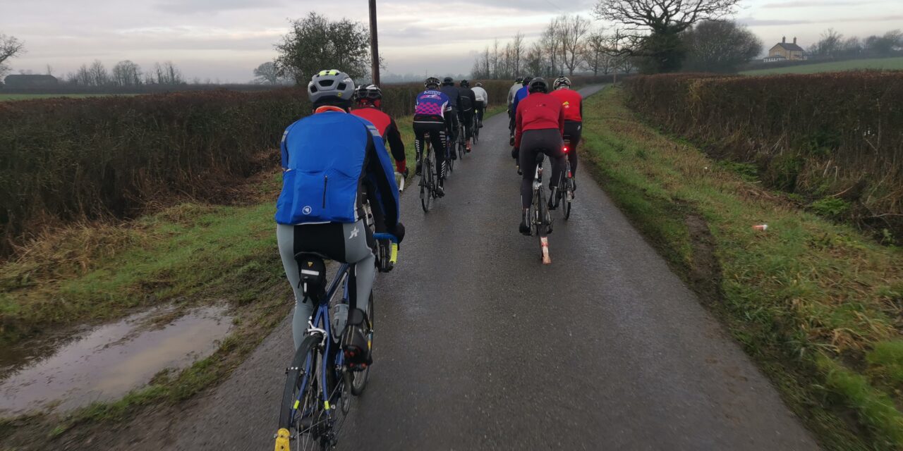
The sun seems to have disappeared from Saturday’s forecast, but no rain, ice or gales are forecast (atm!). Hopefully the roads will dry out during today after last night’s deluge.
The Pink and Blue routes head to Blandford and out through Langton Long. The Pink route continues to Wimborne, returing through Witchampton, the Gussages and Ashmore. Meanwhile the Blue route cuts across to Tarrant Rushton airfield to reach Witchampton where it rejoins the Pink route.
With the Tarrant valley flooded again, the original idea for the White route has been shelved. Instead the White route heads out to Sturminster, Hazelbury Bryan and Ansty, then returns over Bulbarrow, Okefords Fitzpaine and Child, and then Manston and Todber.
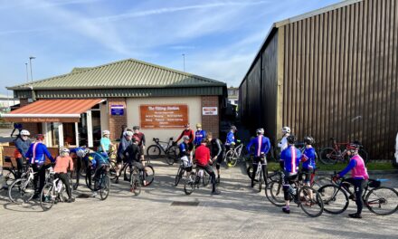
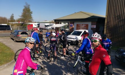
Meet at 9.30 am at the Wheels car park, Station Road, Gillingham. Please ensure you download your chosen route to your GPS device, and remember to bring your ride essentials, particularly sufficient liquid refreshement.
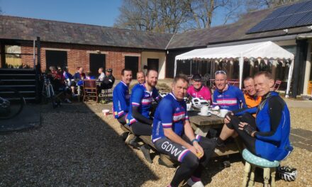
The routes all finish at The Old Brewery Cafe in Gillingham where you can stop for coffee, cake or lunch.
There is nothing to stop a group splitting into a ‘light’ and a ‘dark’ group, and a slower group can take on a longer route or a faster group ride a shorter route. All rides are no drop rides but please select a group suited to your ability!
Pink Route: 88.1 kms, 866 m elevation – est speed 28 kmh+ / 17.5 mph +
Blue Route: 77.0 kms, 776 m elevation – est speed 24 kmh / 15 mph
White Route: 59.2 kms, 679 m elevation – est speed 20 kmh / 12 mph
For those who have issues downloading their routes, here’s the guide for a Garmin device and here’s the guide for a Wahoo device.
