After a wet start to the week, it looks like Saturday will be dry with a southerly wind. Hopefully Friday’s dry and sunny weather will help to dry off some of the roads, but the routes have tried to avoid known flood spots.
All the routes head south west to Kings Stag and Pleck, where the White route makes its way round to Glanvilles Wootton, Mappowder and Hazelbury, before heading for home or the cafe.
The Blues and Pinks continue on to Leigh and Lyons Gate and then take different routes to Hazelbury. They also take slightly different routes back from Manston to Gillingham and end at the Old Brewery Cafe and Kitchen.
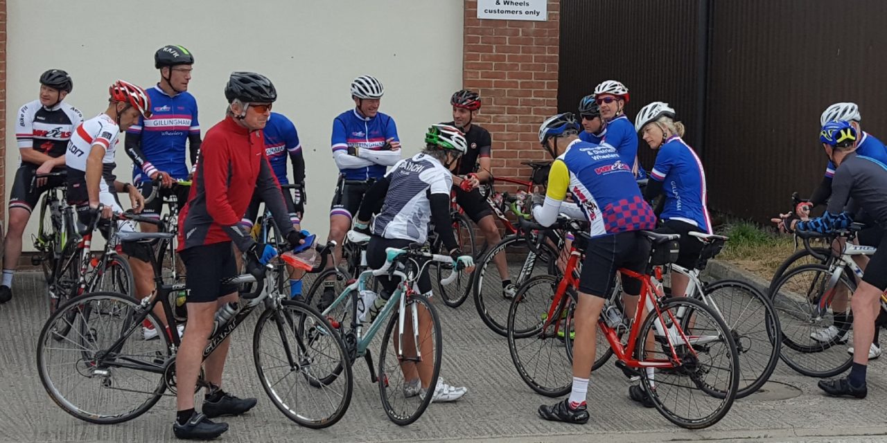
Meet at 9.00 am at the Wheels car park, Station Road, Gillingham. Please ensure you download your chosen route to your GPS device, and remember to bring your ride essentials, particularly sufficient liquid refreshement.
There is nothing to stop a group splitting into a ‘light’ and a ‘dark’ group, and a slower group can take on a longer route or a faster group ride a shorter route. All rides are no drop rides but please select a group suited to your ability!
Pink Route: 94.0 kms, 92 m elevation – est speed 28 kmh+ / 17.5 mph +
Blue Route: 85.4 kms, 878 m elevation – est speed 24 kmh / 15 mph
White Route: 65.1 kms,654 m elevation – est speed 20 kmh / 12 mph
For those who have issues downloading their routes, here’s the guide for a Garmin device and here’s the guide for a Wahoo device.